Common#001
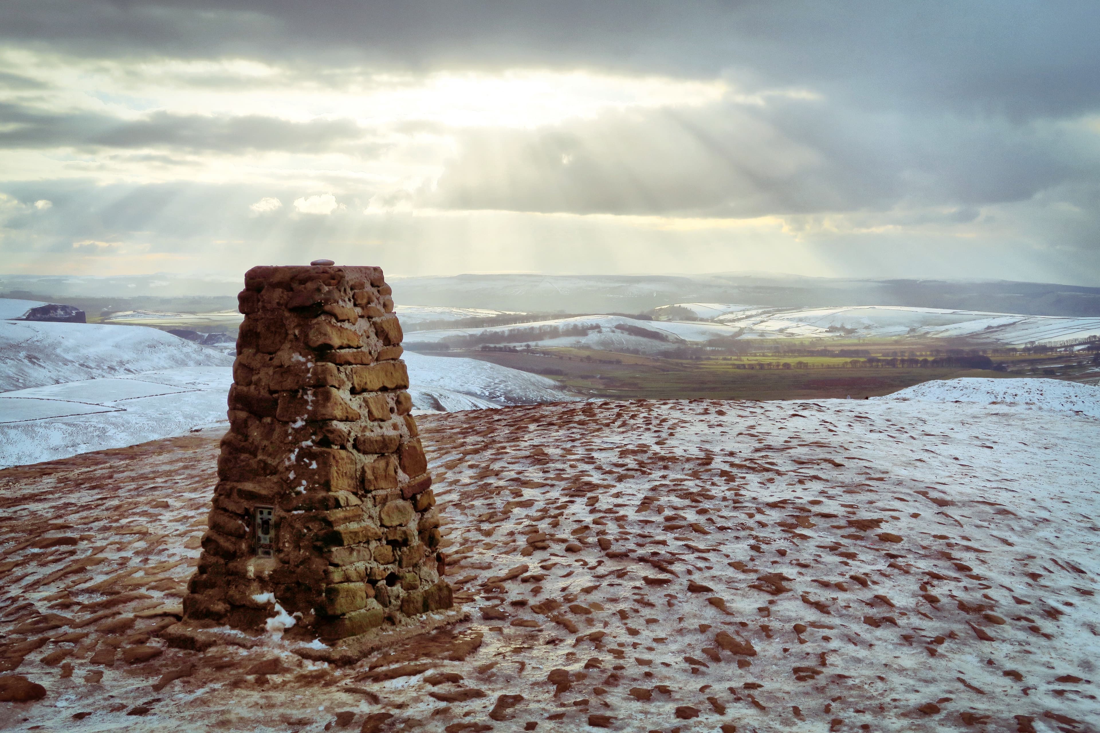
Mam Tor
The Shivering Mountain above Castleton, crowned by the remains of an Iron Age hillfort.
 UNFOUND EARTH
THE PEAK DISTRICT COLLECTION
19 places. One collection. Discover Peak District, experience a place, and make it yours.
Sign in to start collectingPeak District · ordered by collection number
The Shivering Mountain above Castleton, crowned by the remains of an Iron Age hillfort.
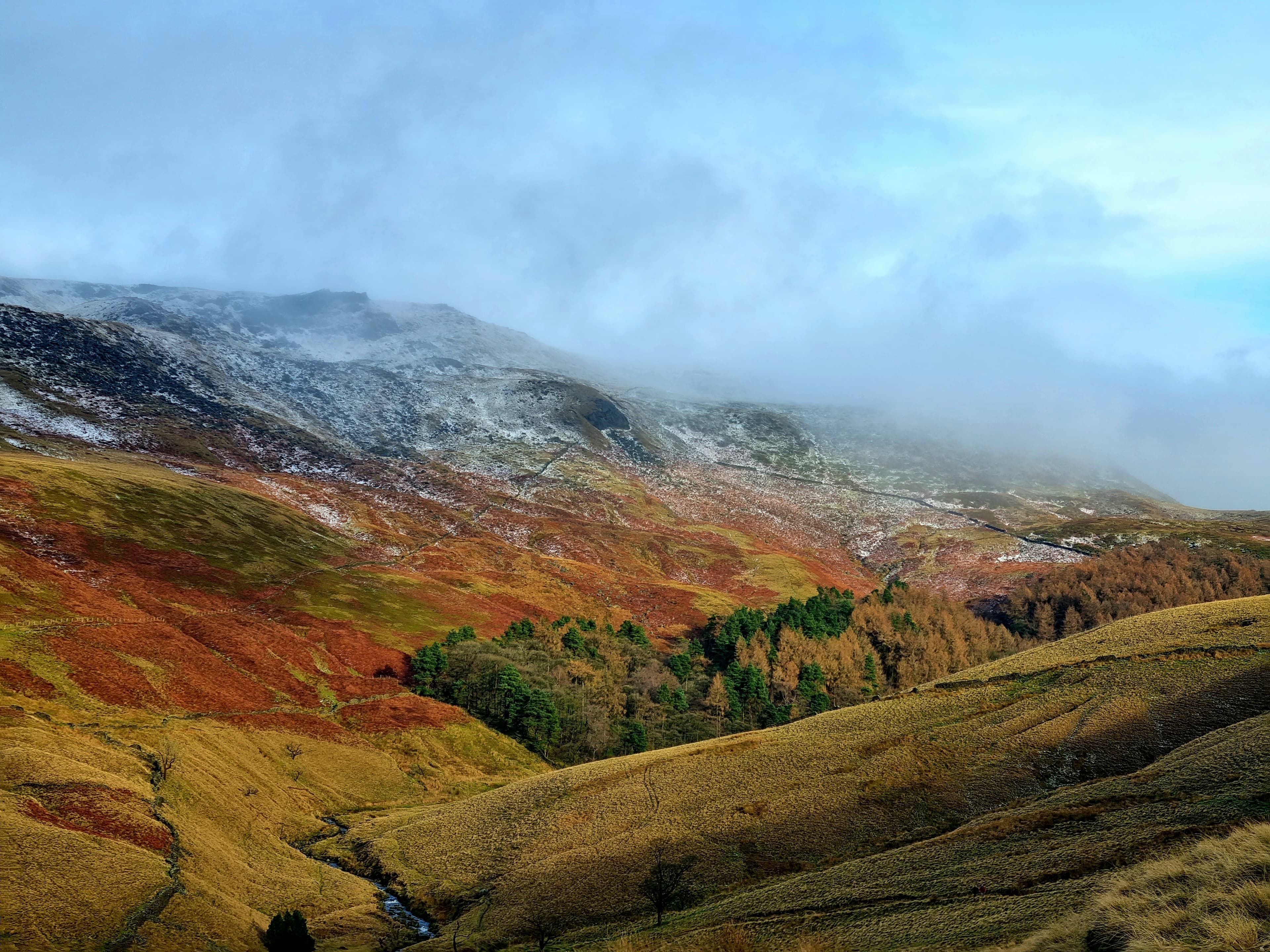
The highest ground in the Peak District: a vast Dark Peak moorland plateau shaped by walking history.
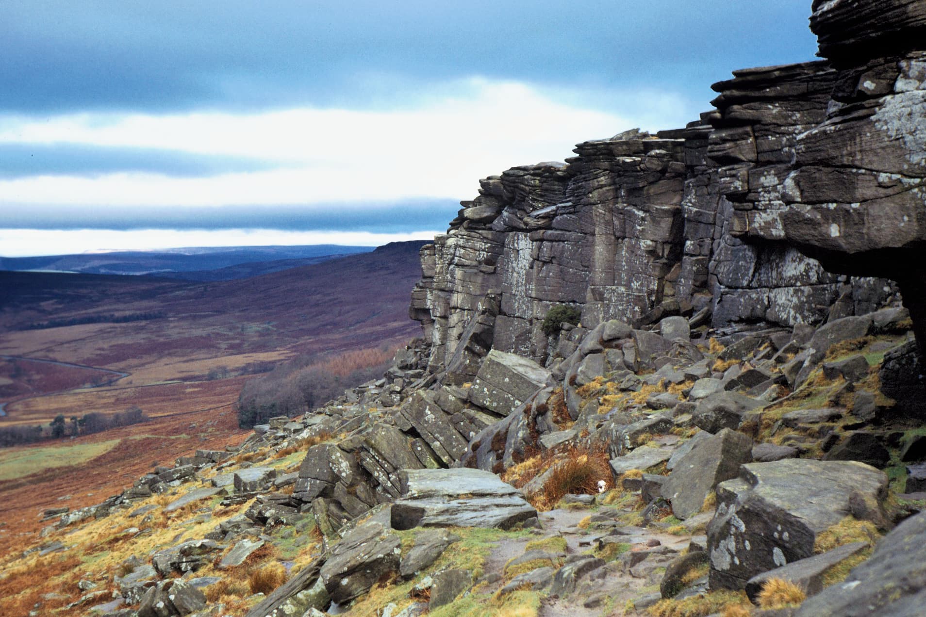
A long gritstone escarpment above Hathersage and one of the Peak District's defining eastern edges.
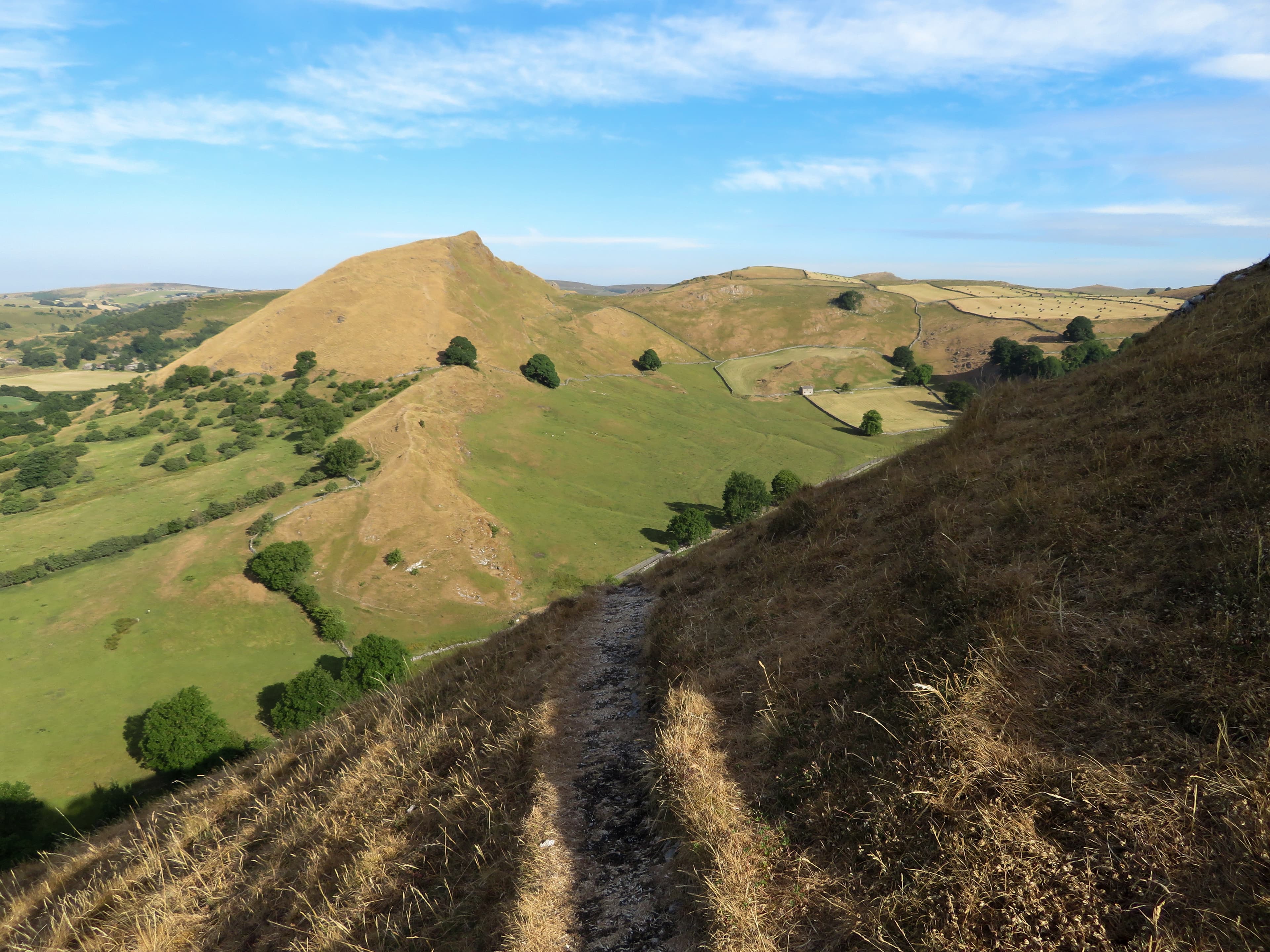
A distinctive limestone ridge rising sharply from the upper Dove valley.

A wooded gorge where Burbage Brook runs through rocks beneath the eastern moors.
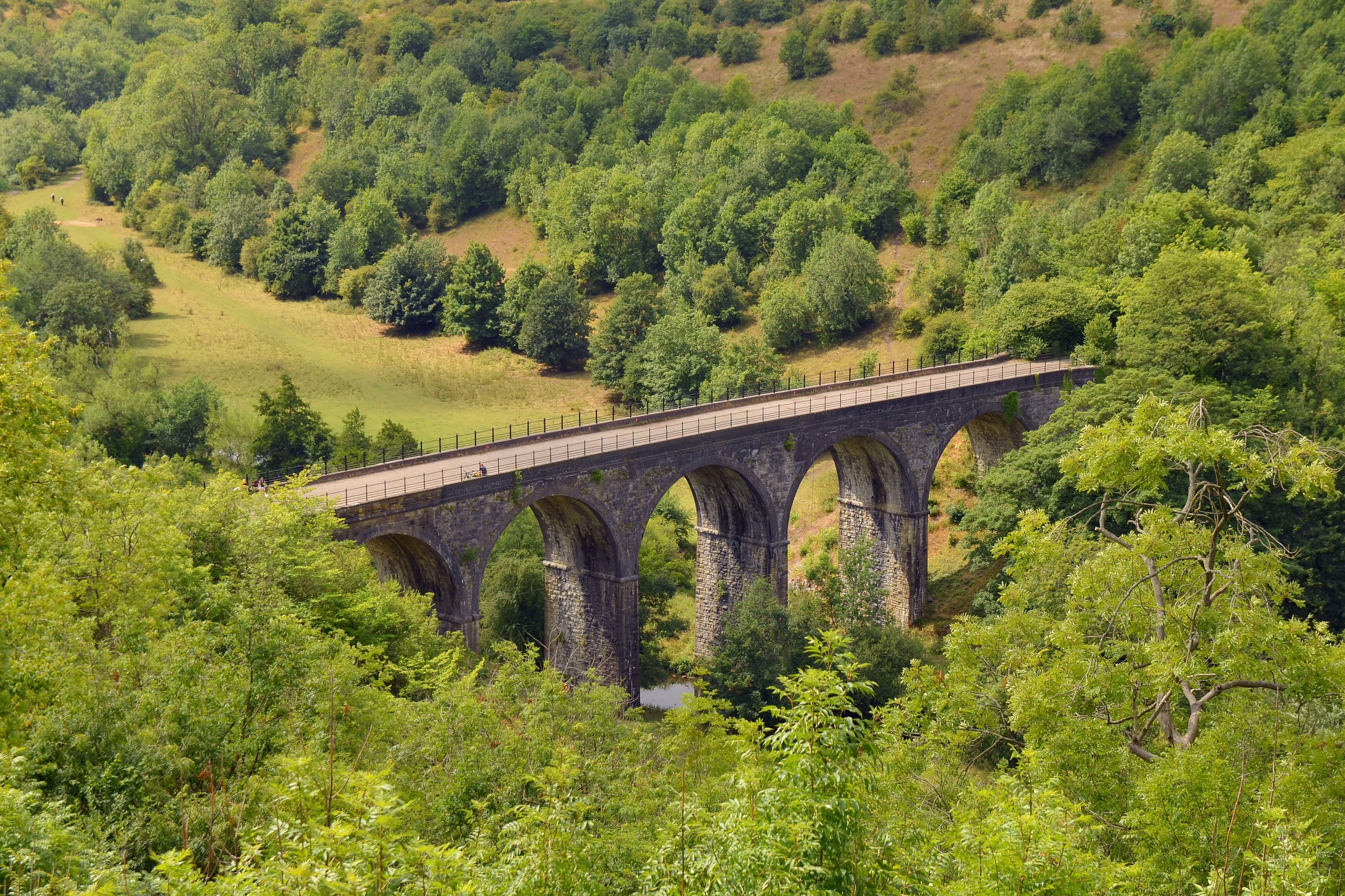
A celebrated viewpoint over Monsal Dale and the railway viaduct below.
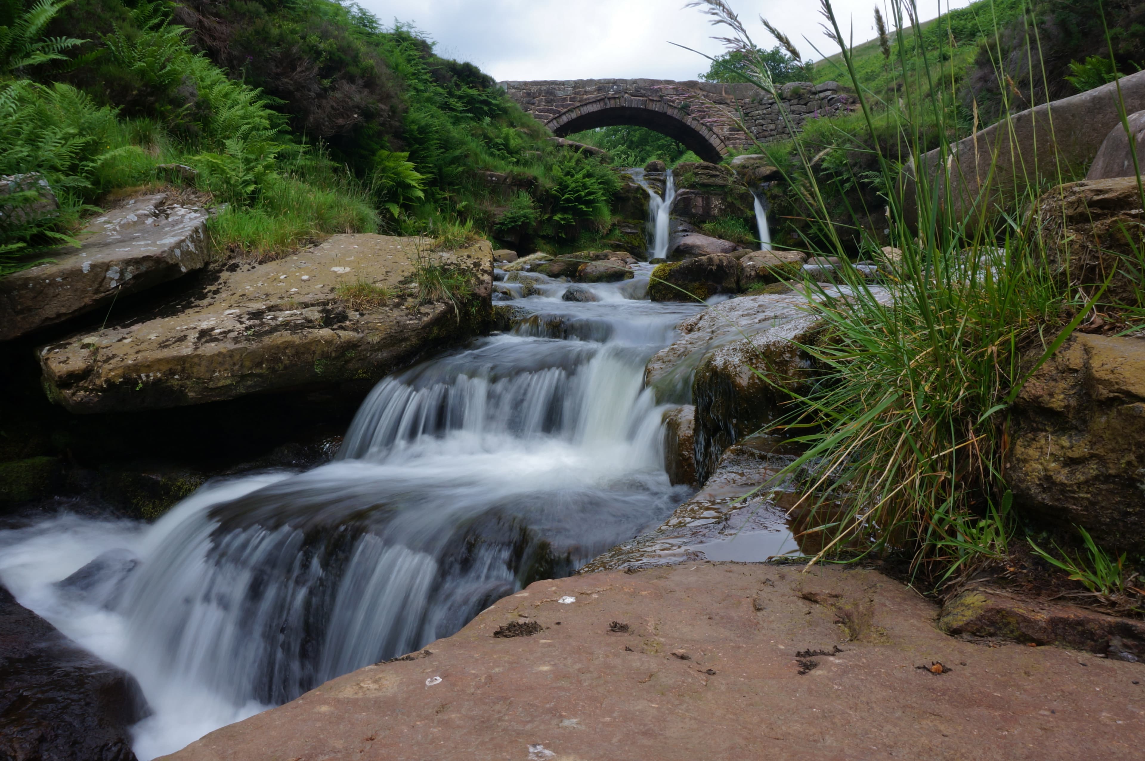
A historic meeting place of three county boundaries beside the River Dane.
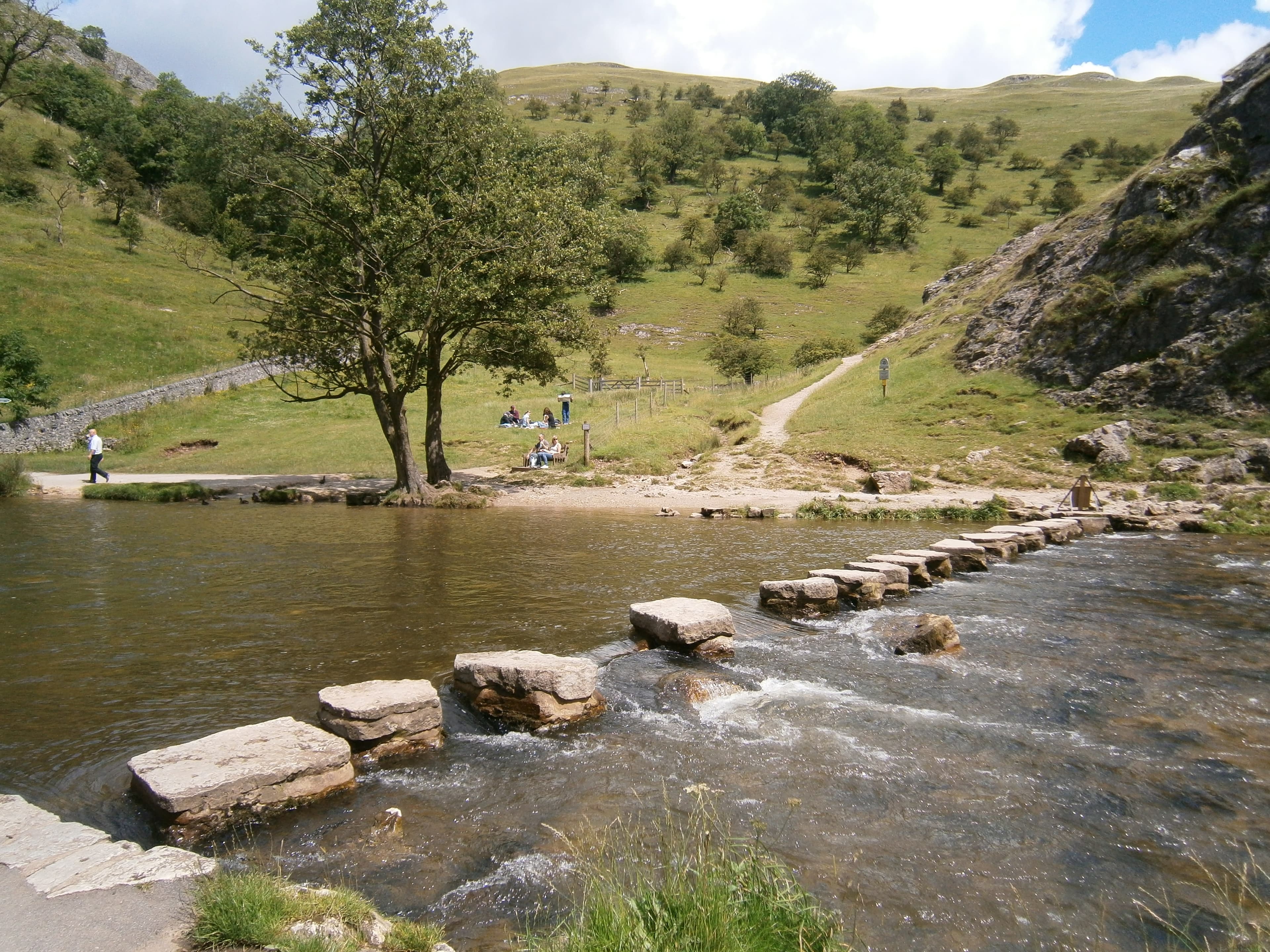
The famous stepping-stone crossing of the River Dove beneath the limestone slopes of Dovedale.
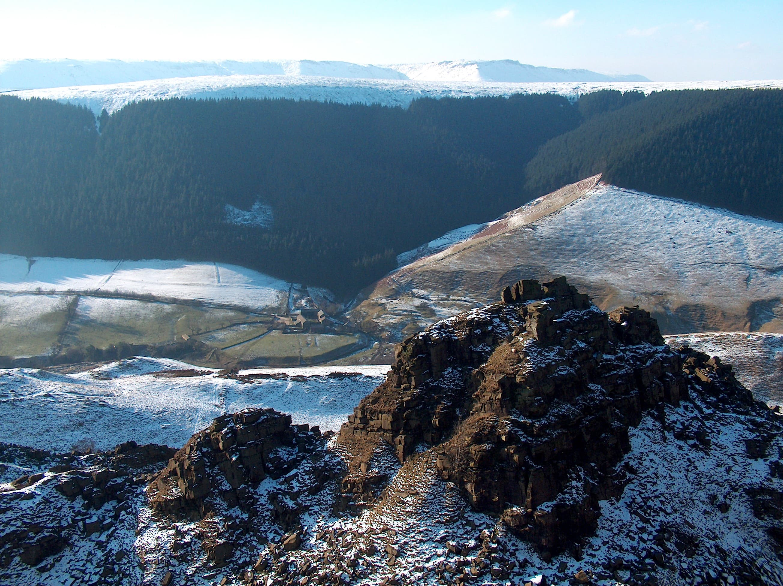
A Dark Peak landslip whose detached gritstone blocks form castle-like towers above Alport Dale.
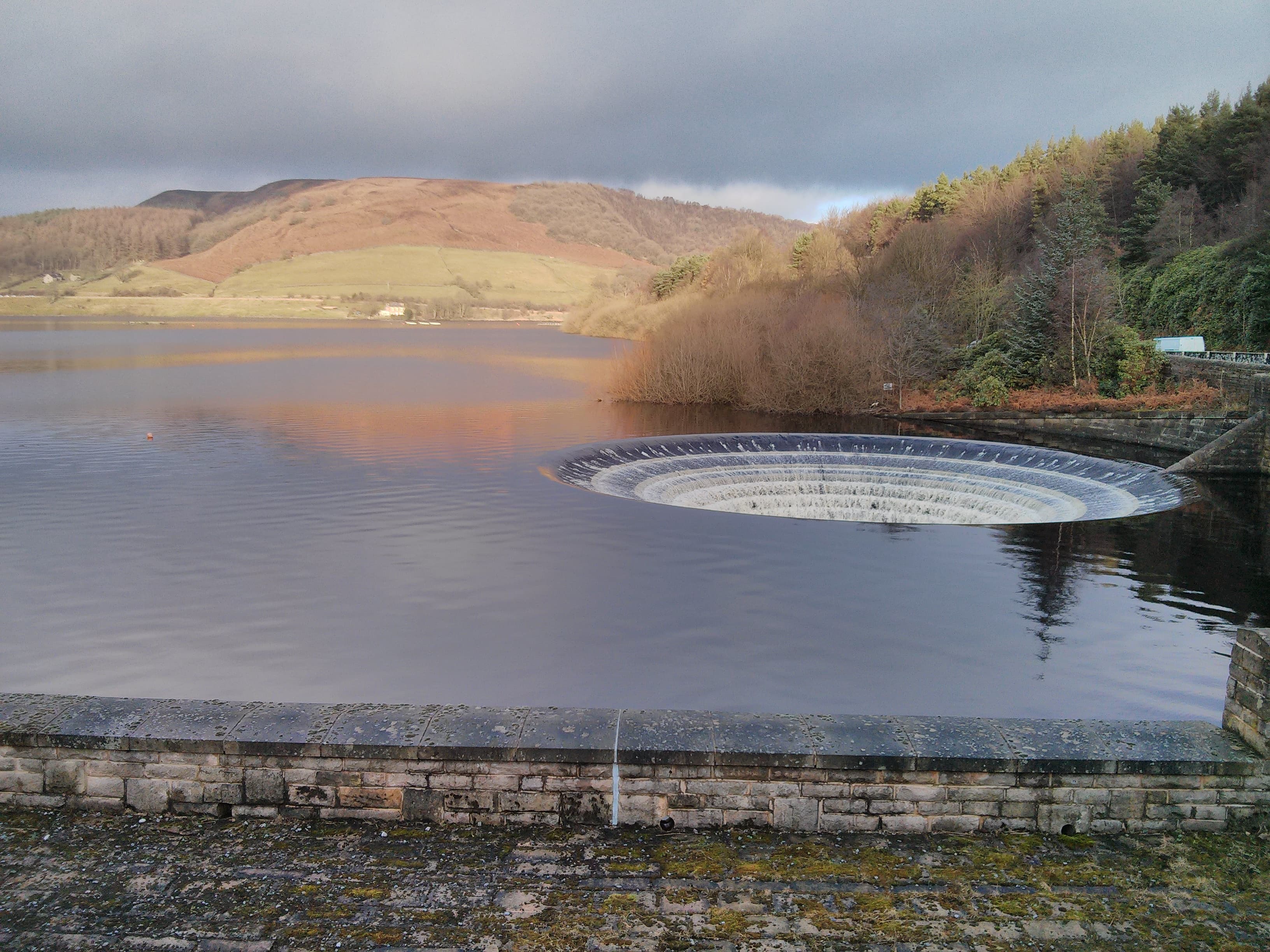
A branching Upper Derwent reservoir with an earth dam and two circular bellmouth spillways.
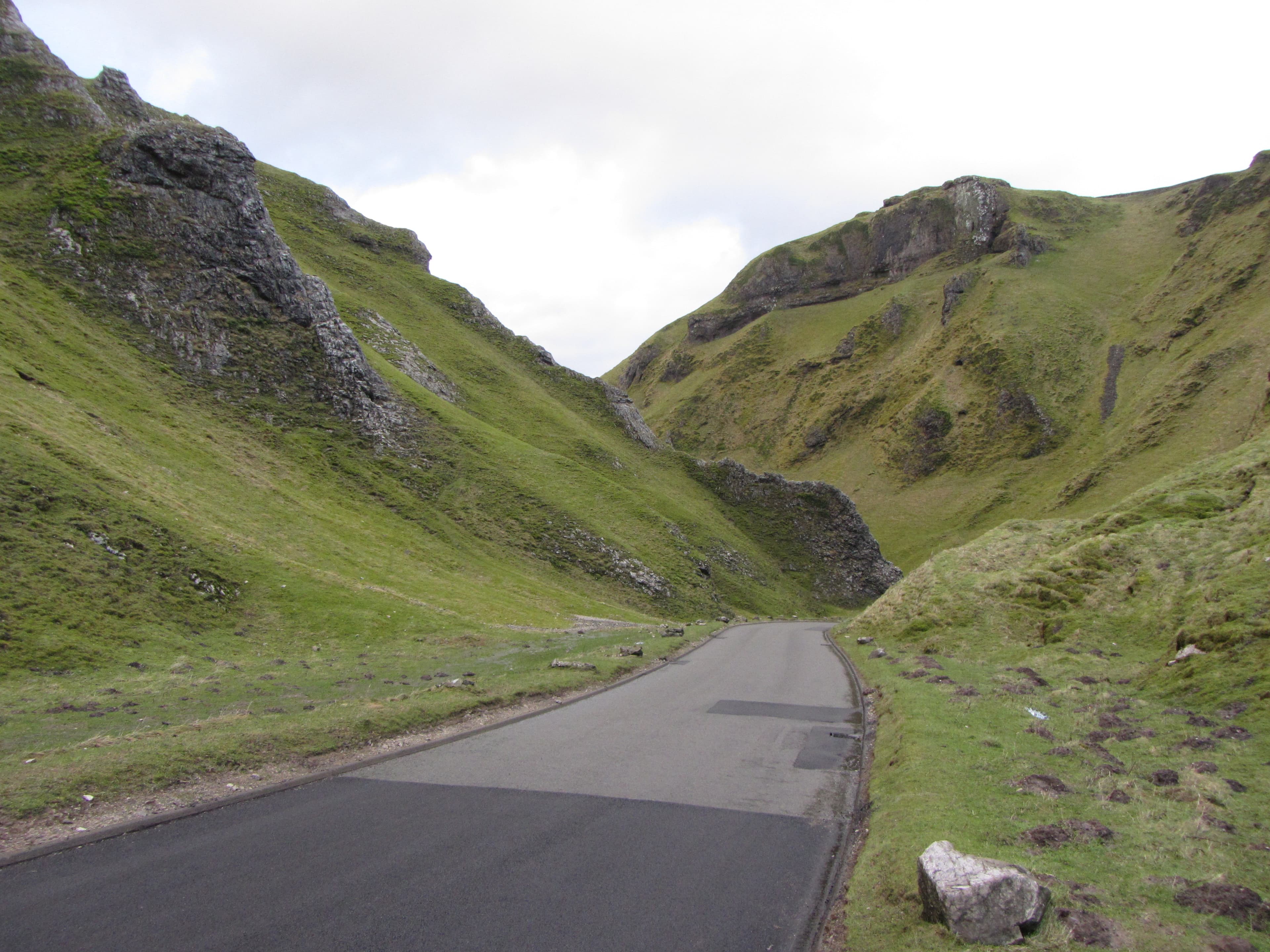
A limestone gorge cutting into the plateau west of Castleton, with a road winding between its crags.
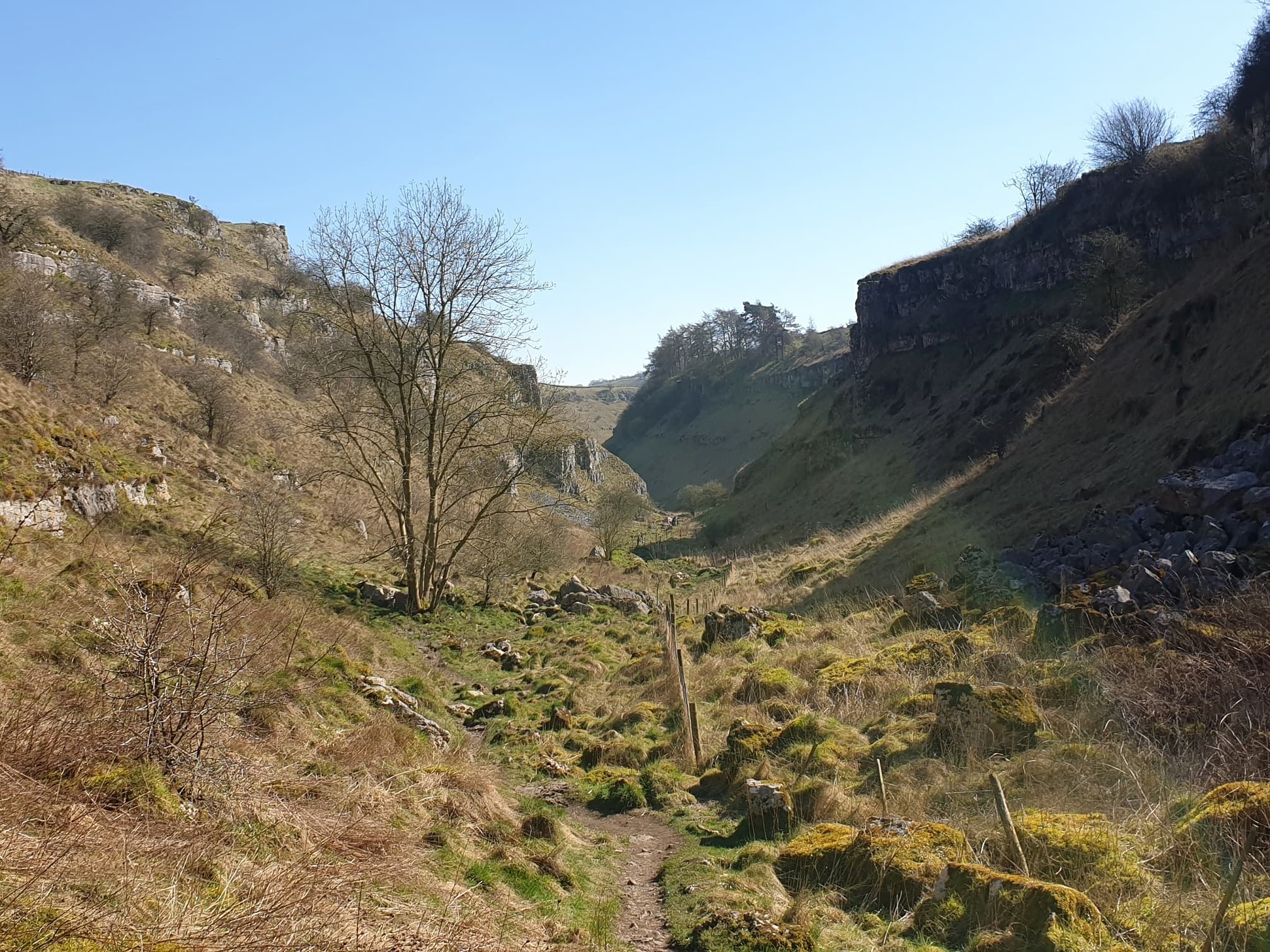
A White Peak river dale threading limestone grassland and valley woodland between Monyash and Over Haddon.
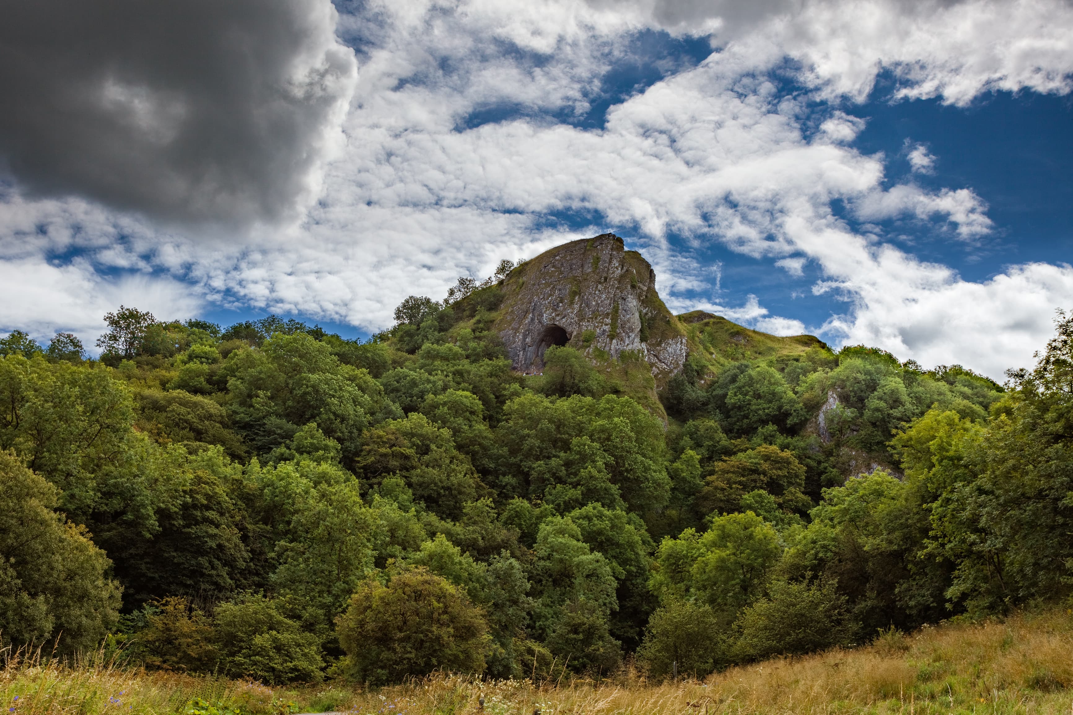
A broad cave mouth set high in a limestone crag above the Manifold Valley.
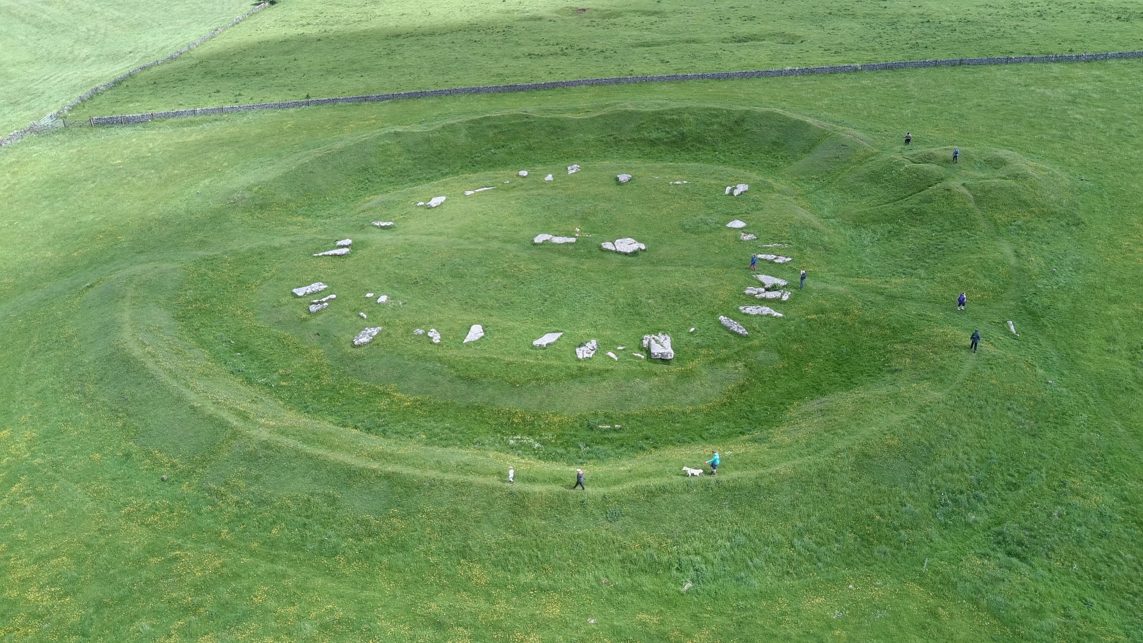
Fallen limestone slabs enclosed by a prehistoric bank and ditch on the White Peak plateau.
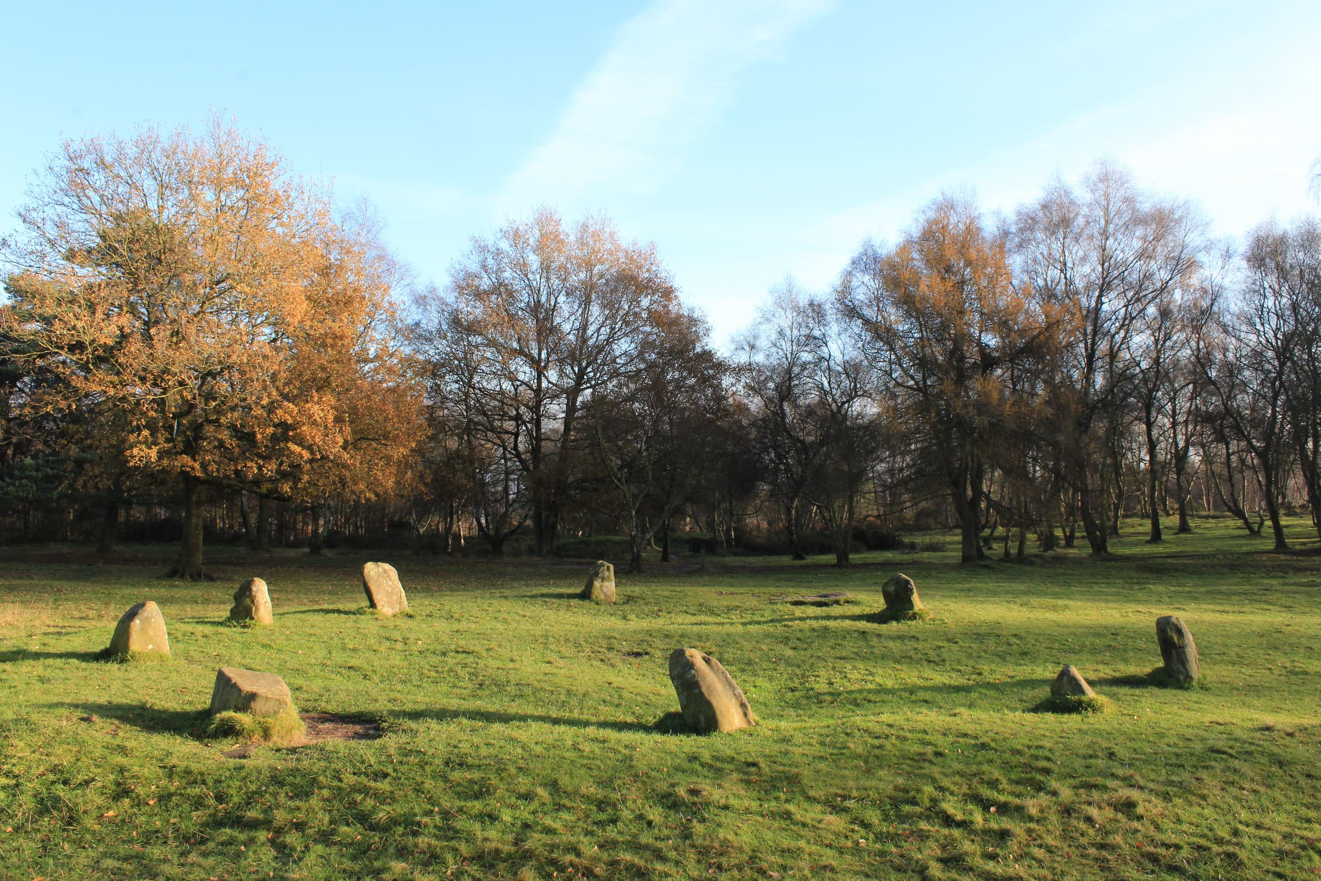
A small gritstone circle on Stanton Moor, named for the local legend of dancers turned to stone.
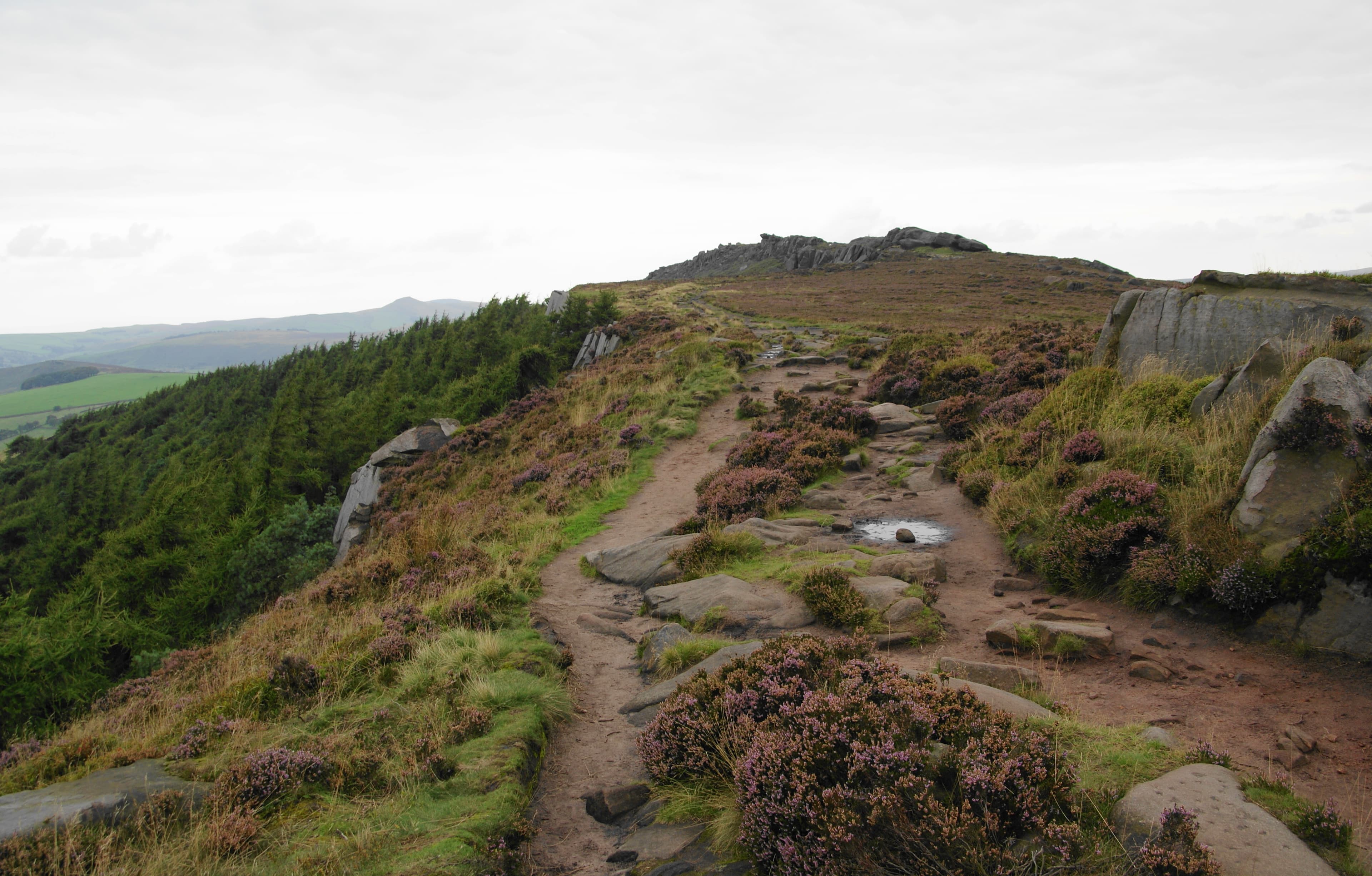
A Staffordshire gritstone ridge of stacked outcrops, heather moorland and the small Doxey Pool.
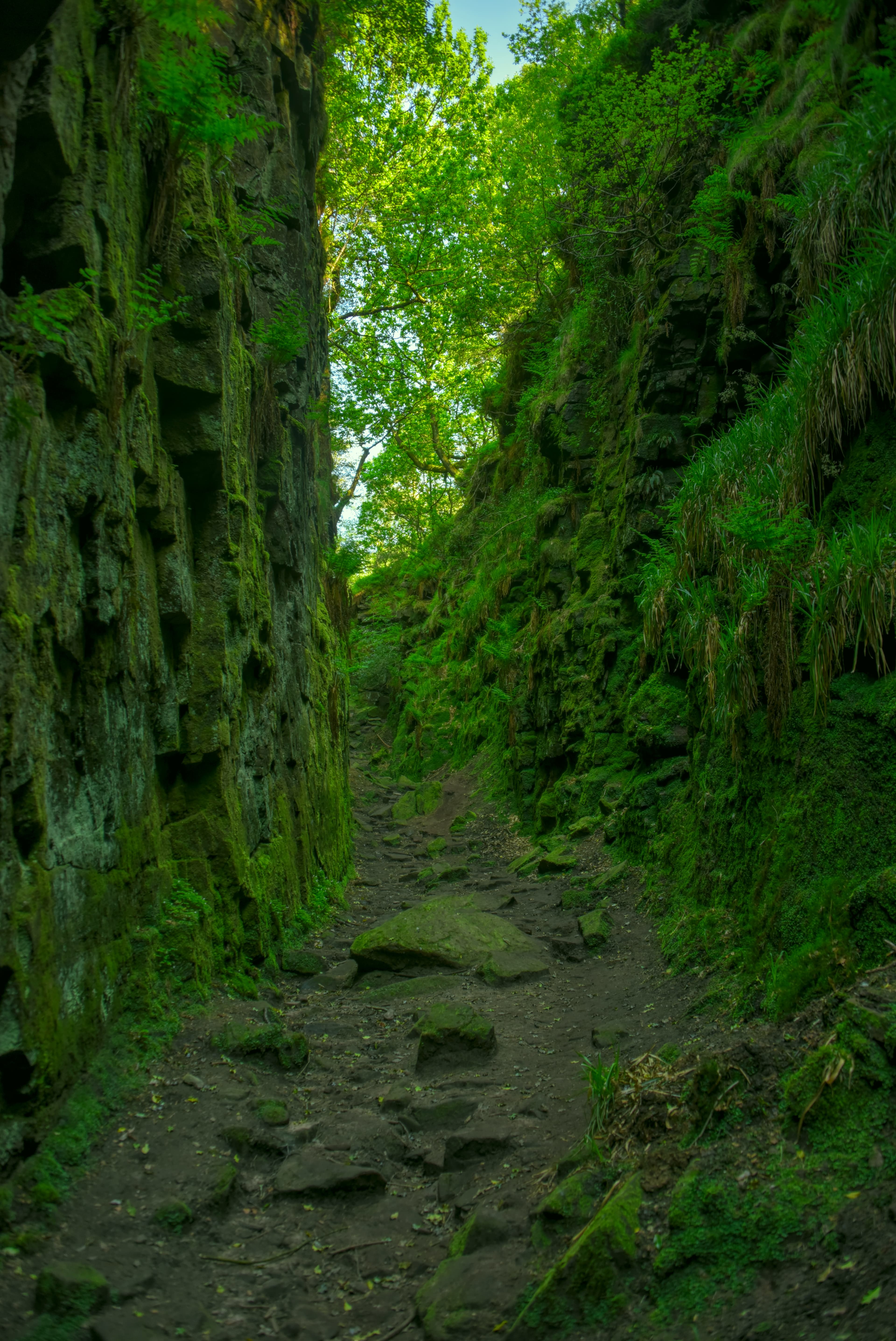
A deep, moss-lined fissure in the gritstone of Back Forest, formed by a hillside landslip.
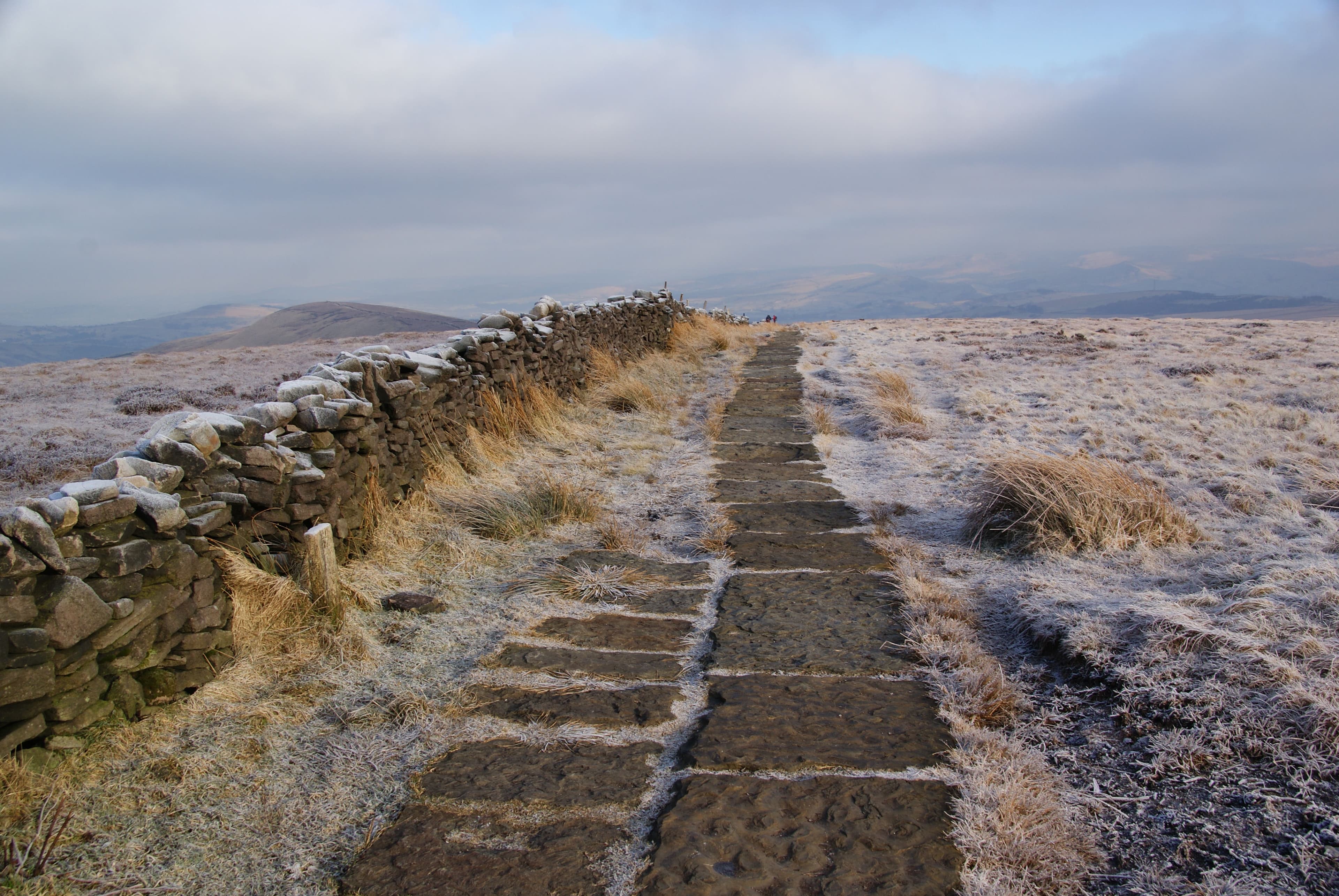
Cheshire's highest hill, marking the southern end of the moorland ridge above the Goyt Valley.
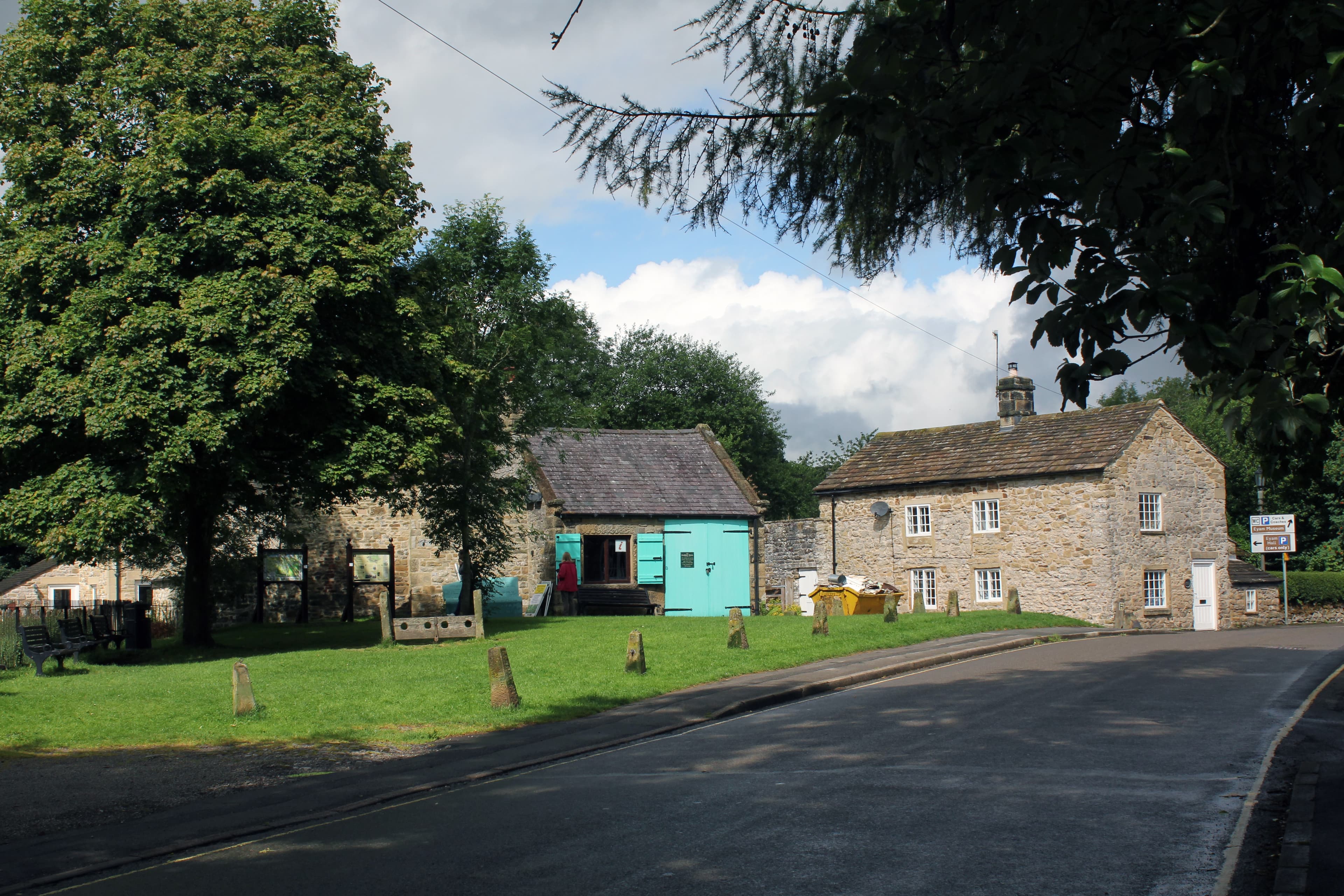
A Peak District village whose cottages, church and memorials preserve the story of its 1665-1666 plague quarantine.