
 #018
#018#018 / PEAK DISTRICT
Shining Tor
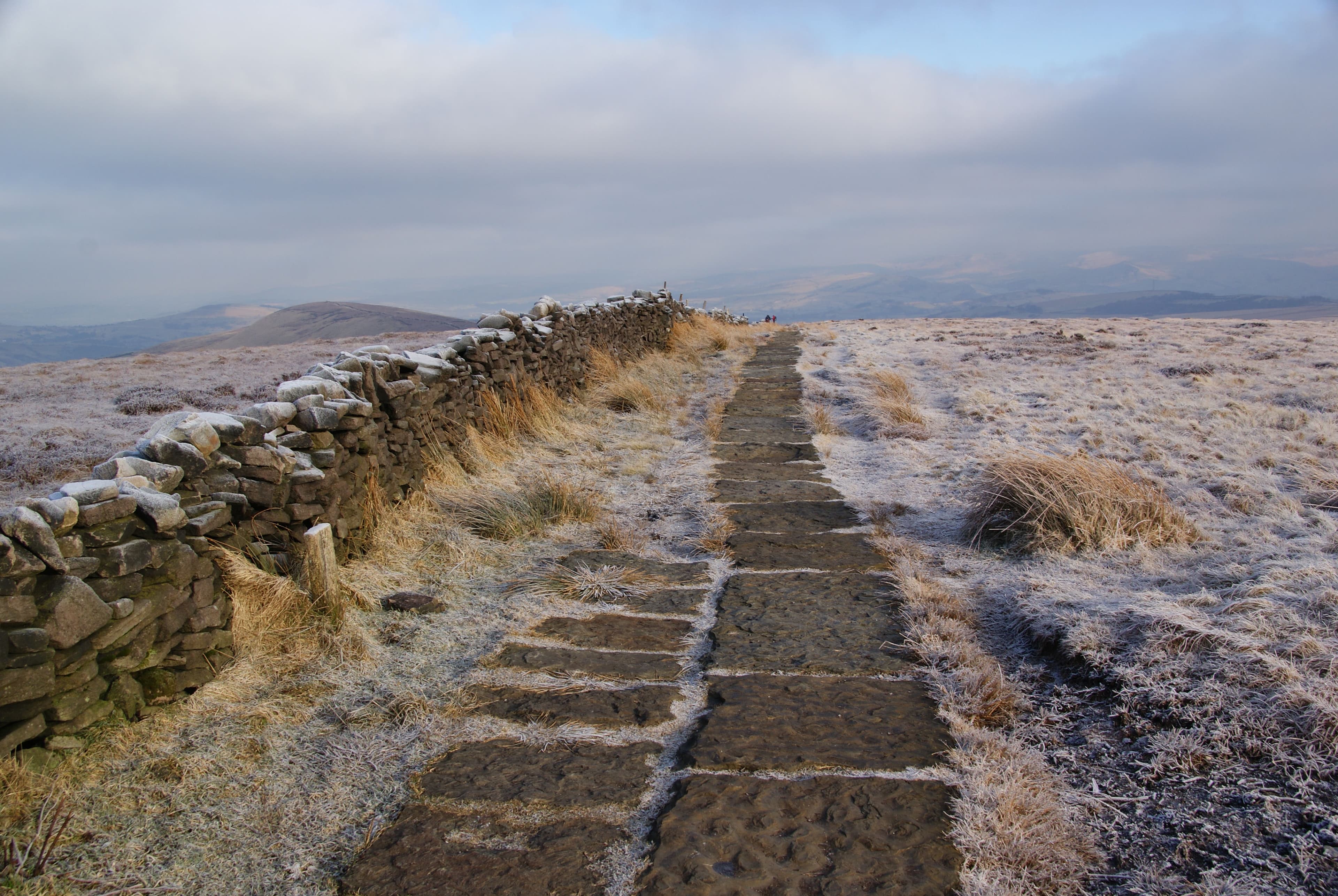
Cheshire's highest hill, marking the southern end of the moorland ridge above the Goyt Valley.
- Category
- peak
- Rarity
- Common
- Base reward
- 100 XP
How collecting works
Rarity is an editorial measure of how collectible a place is within Unfound Earth—not how difficult, dangerous, or accessible it is to visit. Rarer finds award more XP. Marking a place FOUND adds it to your collection and awards its base XP once.
YOUR COLLECTION
UNFOUND
Sign in to mark this place FOUND and add it to your collection.
SIGN IN TO MARK FOUNDFROM DISCOVERY TO EXPERIENCE
Plan your visit
Explore the place. Choose your own way to experience it.
Daylight today
Daylight
- Sunset
- Daylight
- 11h 19m
Mountain forecast
Met Office
Peak District mountain forecast (opens in a new tab)View details
Daylight today
- Sunrise
· Place-local times.
Mountain forecast
Specialist regional forecast from the Met Office, not a forecast for this exact place.
Overview
Shining Tor stands on the Cheshire-Derbyshire boundary above the Goyt Valley, at the southern end of the ridge that includes Cats Tor. This is the 559-metre summit near Buxton, not the similarly named hill above Dovedale.
Source: Harold Street, Database of British and Irish Hills · Wikipedia contributors
Getting there
The independent Goyt Valley guide describes a walk from Errwood Hall car park via Foxlow Edge and the ridge to Shining Tor. This is supplementary route context, not authoritative parking or access guidance.
Source: Goyt Valley (independent local guide)
Routes to explore
Published by external providers, not Unfound Earth.
Goyt Valley (independent local guide)
Independent local guide: Errwood to Shining Tor
Open provider route (opens in a new tab)
Useful information
Terrain
The independent route description includes open moorland and paths that can be muddy. Check current local conditions and access notices; no route measurements or suitability assessment are supplied here.
Source: Goyt Valley (independent local guide)