
 #010
#010#010 / PEAK DISTRICT
Ladybower Reservoir
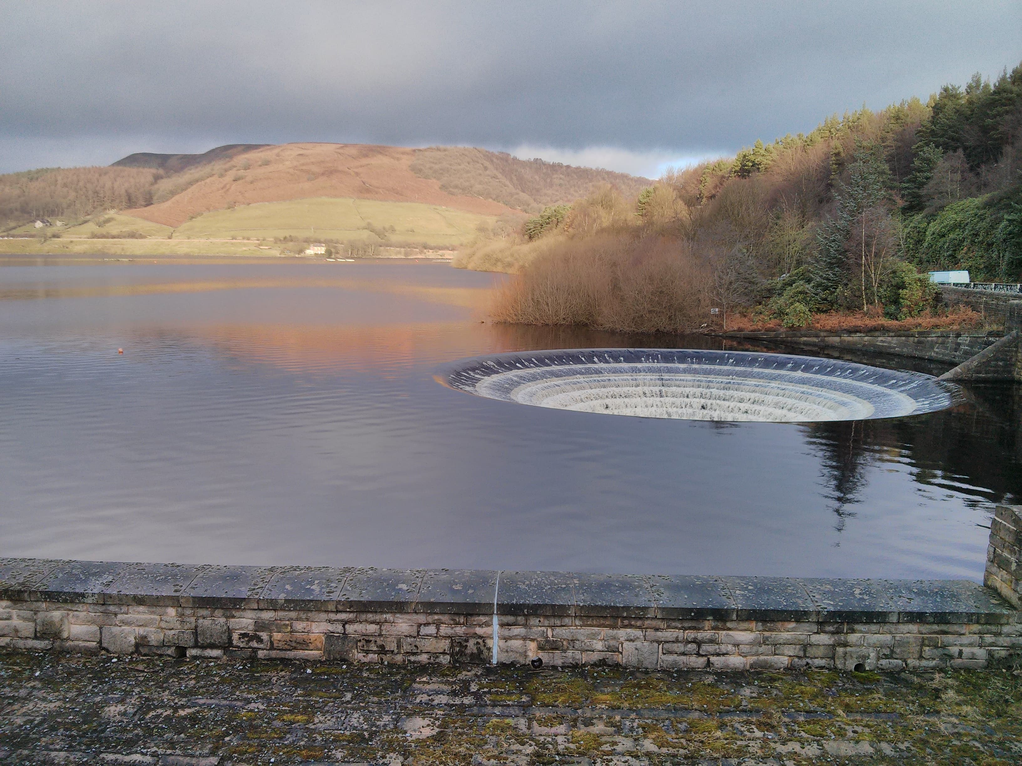
A branching Upper Derwent reservoir with an earth dam and two circular bellmouth spillways.
- Category
- water
- Rarity
- Uncommon
- Base reward
- 200 XP
How collecting works
Rarity is an editorial measure of how collectible a place is within Unfound Earth—not how difficult, dangerous, or accessible it is to visit. Rarer finds award more XP. Marking a place FOUND adds it to your collection and awards its base XP once.
YOUR COLLECTION
UNFOUND
Sign in to mark this place FOUND and add it to your collection.
SIGN IN TO MARK FOUNDFROM DISCOVERY TO EXPERIENCE
Plan your visit
Explore the place. Choose your own way to experience it.
Daylight today
Daylight
- Sunset
- Daylight
- 11h 19m
Mountain forecast
Met Office
Peak District mountain forecast (opens in a new tab)View details
Daylight today
- Sunrise
· Place-local times.
Mountain forecast
Specialist regional forecast from the Met Office, not a forecast for this exact place.
Overview
Ladybower is the lowest of the three Upper Derwent reservoirs. Its earth embankment dam and bellmouth spillways distinguish it from the masonry dams at Derwent and Howden. The catalogue pin represents its dam rather than the whole shoreline.
Source: Wikipedia contributors
Getting there
Severn Trent identifies Heatherdene car park for Ladybower Dam and the Plugholes trail. Fairholmes serves the Derwent Dam routes farther north; these are different visitor starting points.
Source: Severn Trent Water
Useful information
Access
Severn Trent's visitor page lists paid parking at Heatherdene and Fairholmes, no overnight parking, and car-park closures in extreme weather. Check the operator for current charges and restrictions.
Source: Severn Trent Water