
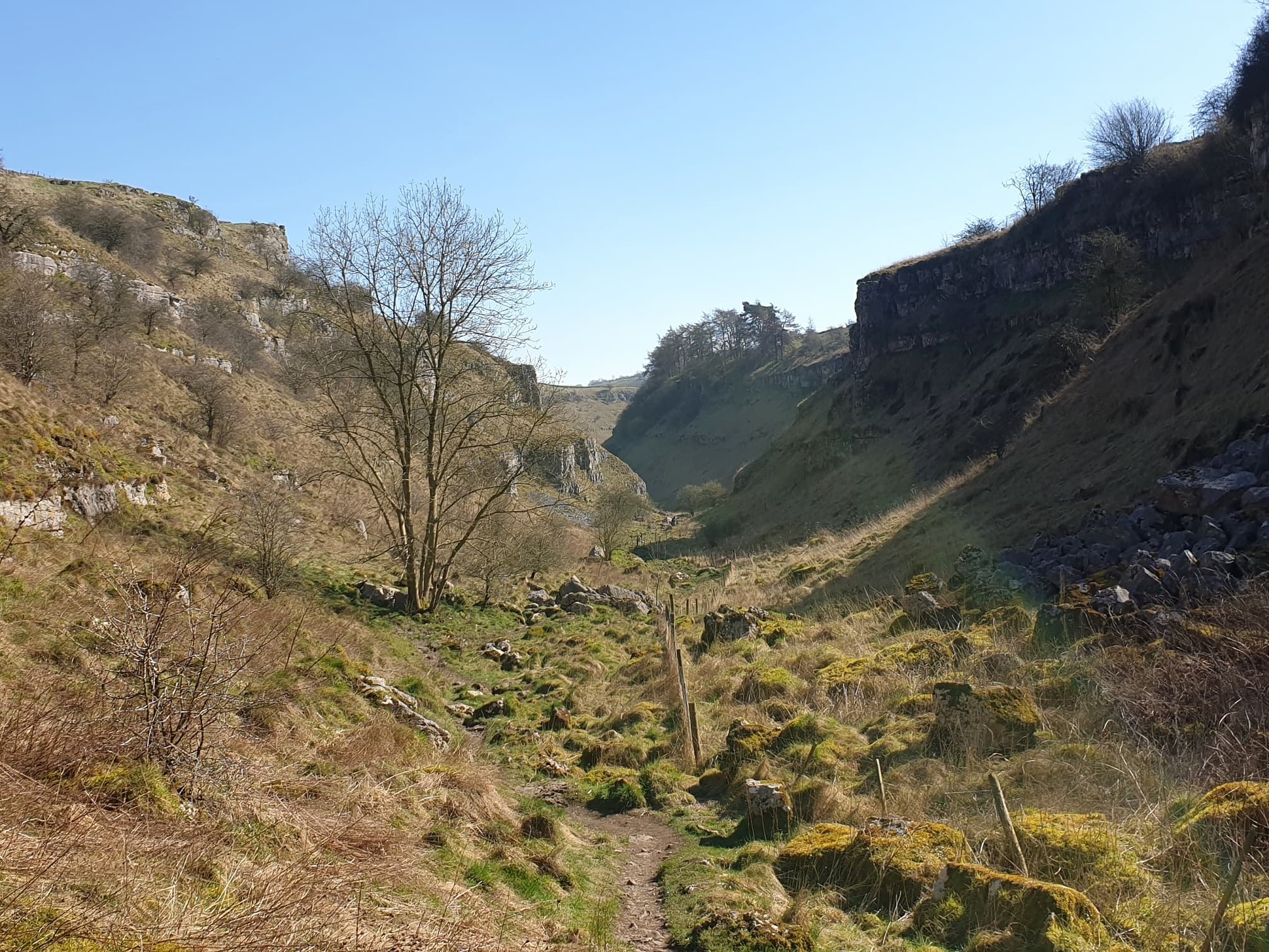
 #012
#012#012 / PEAK DISTRICT
Lathkill Dale
A White Peak river dale threading limestone grassland and valley woodland between Monyash and Over Haddon.
- Category
- natural feature
- Rarity
- Rare
- Base reward
- 400 XP
How collecting works
Rarity is an editorial measure of how collectible a place is within Unfound Earth—not how difficult, dangerous, or accessible it is to visit. Rarer finds award more XP. Marking a place FOUND adds it to your collection and awards its base XP once.
YOUR COLLECTION
UNFOUND
Sign in to mark this place FOUND and add it to your collection.
SIGN IN TO MARK FOUNDFROM DISCOVERY TO EXPERIENCE
Plan your visit
Explore the place. Choose your own way to experience it.
Daylight today
Daylight
- Sunset
- Daylight
- 11h 19m
Mountain forecast
Met Office
Peak District mountain forecast (opens in a new tab)View details
Daylight today
- Sunrise
· Place-local times.
Mountain forecast
Specialist regional forecast from the Met Office, not a forecast for this exact place.
Overview
Lathkill Dale is one of the five separate limestone valleys in Derbyshire Dales National Nature Reserve. It lies between Over Haddon, Monyash and Youlgreave; the reserve includes limestone grassland, streams and valley woodland.
Source: Natural England
Getting there
Natural England lists public car parks at Over Haddon and Moor Lane near Youlgreave, and describes an approach from the Monyash end. These serve different parts of the dale. Check current local arrangements; the catalogue pin is a representative reserve location, not an arrival point.
Source: Natural England
Useful information
Access
Natural England states that there are no bridleways on the reserve and that horses, mountain biking and other cycling are not permitted. Follow current reserve signs and access guidance.
Source: Natural England
Terrain
The reserve guidance describes uneven footpaths, limestone surfaces, steep slopes and old mine workings. Consult the complete guidance rather than treating the map pin as a route.
Source: Natural England